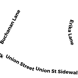
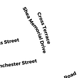
389--391 UNION ST
Owner Information
THOMPSON JOHN & DEBORAH
389 UNION ST
S WEYMOUTH, MA 02190


Property Details
389--391 UNION ST is classified as a Developable Residential Land (Conventional).
The primary structure on this property was built in 1913. There are 3,192ft2 of built area within this property. There is 3,192ft2 of residential/living space within this property.
389--391 UNION ST is valued at $749,200. The land is valued at $193,000 and the structures are valued at $555,900. There is an additional valuation of $300 on this property.
The most recent deed for 389--391 UNION ST is recorded at the local registrar in Book 554, Page 184. 389--391 UNION ST was last sold on Friday, April 18, 1980 for $0.
Assessment data from fiscal year 2022.
Flood Data
According to the FEMA National Flood Hazard Layer, this property does not appear to be in a flood zone. It may also be in an area not yet reviewed. Nonetheless, confirm this information prior to taking any action.
To view the flood hazards around this property, create a FEMA "Firmette" Map of the area around 389--391 UNION ST.
Broadband Internet Providers
| Provider | Type | Bandwidth (mbps) | |
|---|---|---|---|
| Viasat Inc | Satellite | 100 | 3 |
| Verizon New England Inc. | DSL | 5 | 0 |
| Comcast | Cable | 1000 | 35 |
| GCI Communication Corp. | Satellite | 0 | 0 |
| HughesNet | Satellite | 25 | 3 |
| VSAT Systems, LLC. | Satellite | 2 | 1 |
Broadband service provider data from December 2020.
Adjacent Properties
- 375 UNION ST
Developable Residential Land owned by HEALY THOMAS C - 0 UNION ST
Field Crops - hay, wheat, tillable forage, cropland, etc... (Ch. 61A, not classified as Open Space) owned by THOMPSON JOHN & DEBORAH - 0 UNION ST
Field Crops - hay, wheat, tillable forage, cropland, etc... (Ch. 61A, not classified as Open Space) owned by THOMPSON JOHN & DEBORAH - 399 UNION ST
Single Family Residential owned by RUSSO VINCENT & DUSTIN